The Hovd River is a river in western Mongolia.
THE REGIONS OF MONGOLIA
KHOVD AIMAG
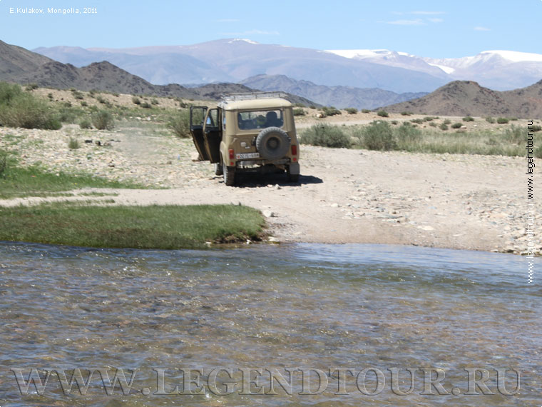
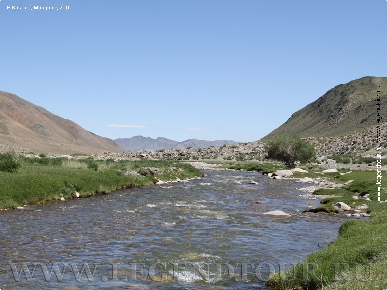
KHOVD RIVER

The Hovd River (Russian: Кobdo, ustor. Кobdo-Gol, Mong. Khovd Gol) is a river in
Mongolia. It originates from Lake Hurgan-Nuur, collecting water from the slopes
of the Mongolian Altai and its spurs. It flows through the Mongolian Altai and
its foothills in western Mongolia. It is one of the largest rivers in Mongolia.
It gives its name to the city of Hovd and the Hovd aimag. The length of the Hovd
River is about 516 kilometers. The area of the basin is about 50 thousand square
kilometers. It flows through the Mongolian Altai and the Great Lakes Basin. It
flows into Lake Khara-Us-Nur, forming a delta. The average water discharge is
about 100 m3/s.
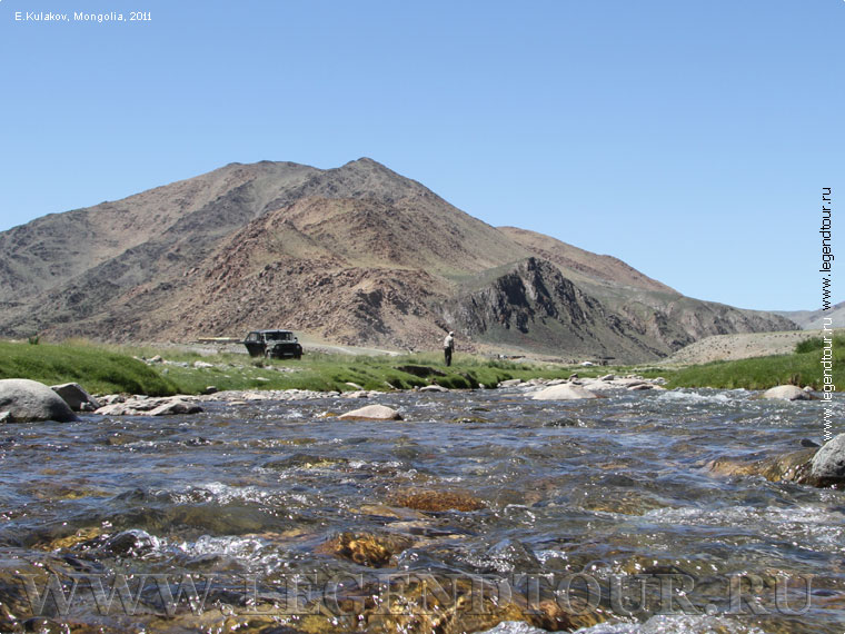
The Khovd gol is the largest river in the Mongolian Altai.
The river starts in the Tavan-Bogd uul mountains with two sources and passes
through two high-mountain lakes Khoton-Nuur and Hurgan-Nuur.The length of the
river is 593 km.The basin of the Hovd River is huge (49,667 square kilometers),
as it collects water from the slopes of the Mongolian Altai and the Siylham
Range.The river is overwhelmingly glacially fed.The river has many tributaries,
the largest of which are Tsagaan-Gol, Sogoo-Gol, Sagsai-Gol, Usany-Kholain-Gol
(carrying water from Lake Achit-Nuur).The river passes through many picturesque
places, sometimes speeding up in narrow mountain gorges and overflowing in wide
mountain valleys.The vast delta of the river is swampy, covered with reeds and
sedges.The river ends in the freshwater lake Khar-Us-Nuur, which belongs to the
Great Lakes Basin and is a specially protected site under the auspices of
UNESCO.The river is most abundant in May-June, and in the fall it becomes very
shallow. During the summer, the river level rises and falls several times
depending on the rainfall in its basin.
The average width of the river is from 80 to 140 m, depth is from 1.5 to 3 m.
The river channel is strongly smoothed. Despite the mountainous relief, the
river has practically no rapids in its upper and middle reaches and is of little
interest for fans of extreme rafting.The river falls from the source to the lake
Khar-Us Nuur about 900 meters, that is more than 2 meters per 1 kilometer.In the
upper reaches of the river the value of the fall is much higher.
In the river bed in the upper reaches of the river is larch dry taiga, in the
lower reaches - unique for the region riparian forests.In the adjacent
territories there are caragan steppes.The floodplain is swampy in some places,
the riverbed is winding, has many channels, and there are not infrequent
swims.On flat areas, sandy steppes approach the river in the lower part of its
course.In such places, many streams feeding on groundwater flow into the
river.The river is abundant in grayling and black ottoman.
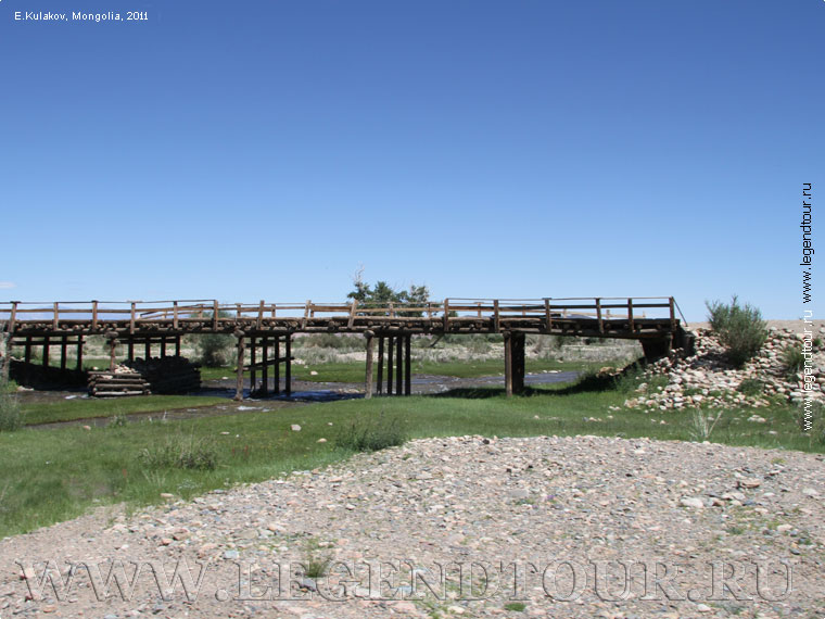
The river valley is relatively densely populated (according to Mongolian
criteria), so in the upper reaches of the river there are centers of Tsengel,
Ulaankhus, Sagsai communes, Ulgii town (capital of Bayan-Ulgii aimag), the
center of Bugat commune. After the river reaches the deserted plain there are
fewer settlements along the river: centers of Hovd (Uvs aimag), Bayannur (Bayan-Ulgii
aimag), Myangad (Hovd aimag). The banks of the river within the upper reaches
are inhabited by Kazakhs, Mongolian-speaking Uryankhais, outside the Mongolian
Altai the banks of the river are inhabited by Mongolian nationalities Derbets,
Olets, Myangats.
The catchment area of the river includes a large lake - Tal-Nuur.
PAGES OF THE PICTURE ALBUM
|


 Classic tours