Archaeological Site at Khuduu Aral and Surrounding Cultural Landscape
THE REGIONS OF MONGOLIA
KHENTII AIMAG
KHUDUU ARAL

Khuduu Aral is a plain about 30 kilometres long and 20 kilometres wide on the meander of the Kherlen
river, west of the Kherlen Toono, and south of the mountain of Kherlen Bayan Ulaan, at the
altitude of 1.300 m above sea level. The site of Ikh Aurug (palace) of Chinggis Khaan is on
this plain. This site is closely connected with the historical work "The Secret history
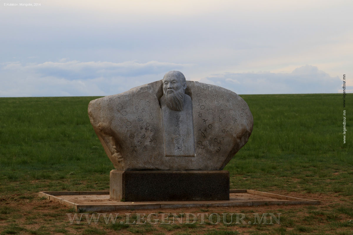
of the Mongols" because it was finished exactly here. To honour the 750th anniversary of
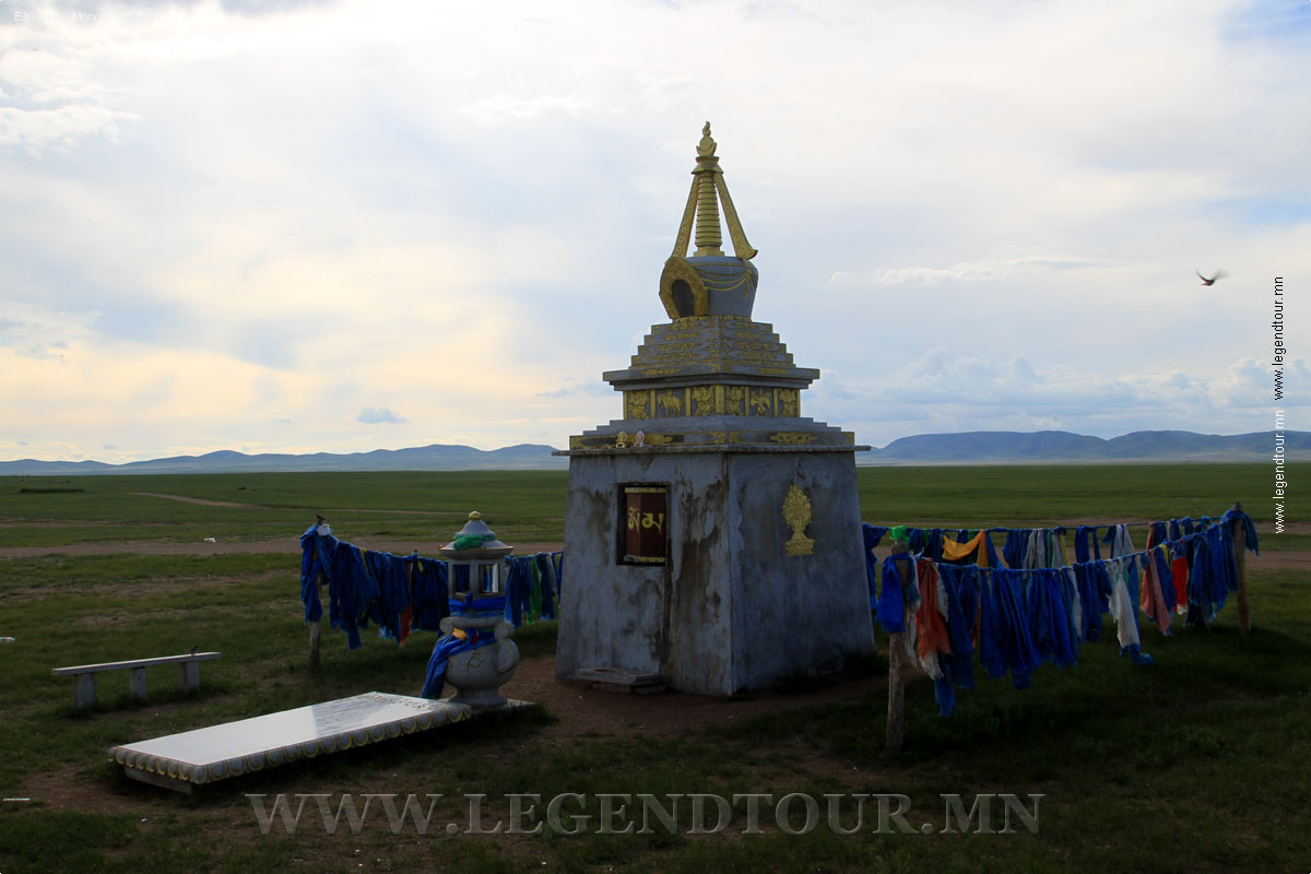
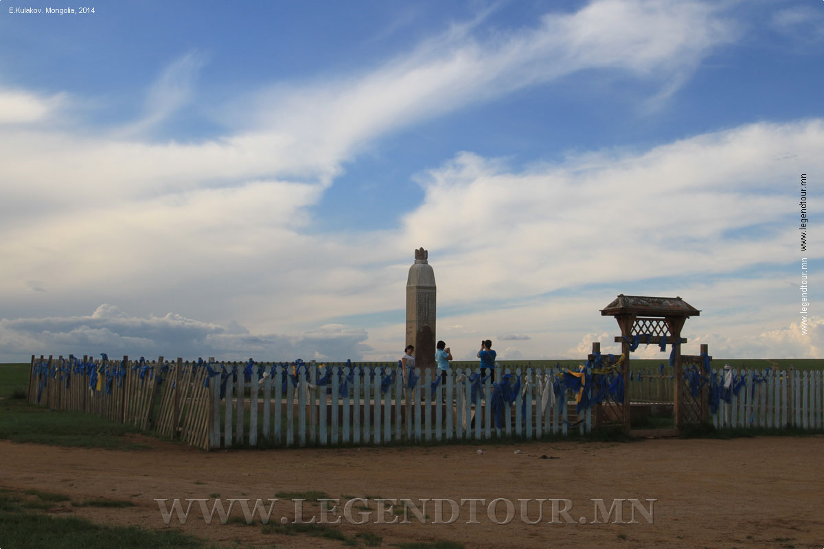
this event , a historic monument was erected here in 1990. Hereabouts are places such as Doloon
Boldog and Shilhentseg, mentioned in " The Secret history of the Mongols ".
Khuduu Aral of Kherlen river and surrounding cultural landscape covers the most part of Delgerkhaan
soum of Khentii province and lays between Kherlen river (from west and south), and Tsenkher
river (from east) and covers over 100.000 hectare area.
The cultural landscape of Khuduu Aral draws boundary between mountainous zone
and dry steppe zone. This area is very famous with its pleasant pasture land,
verified therapeutical mineral water of Avarga spring and Toson Lake, and rare
animals and endemic plants and beautiful natural landscape.
The Mt. Kherlenbayan-Ulaan (elongates 30-40 km) is situated at the north of
Khuduu Aral and has a considerable number of historical and archaeological sites
from the Stone Age to the 18th century CE. The valuable findings discovered from
the sites associated with the period of the Mongolian Empire are considered very
important for study. The Mountain bears a testimony of the traditional
sacrificial and ritual practices, nomadic culture, and pasture use and
protection. It is also famous with its, rare in the world, stipa steppe.
Proposed property Archaeological Site at Khuduu Aral and Surrounding Cultural
Landscape is the cradle land of the Mongolian Empire. The Avargiin Balgas (Ruins
of Avarga) – ancient ruins, formely called Ikh Aurug Ordo (Great Aurug Palace)
was a main palace, built during the Chinggis Khaan time, is located at the
Khuduu Aral. It was not only the palace of Chinggis Khaan, but also the place
where some of his successors were enthroned, and was political and economic
centre of the Great Mongolian Empire during its first stage.
At Khuduu Aral Mongolian kings – Chinggis, Ugudei, Munkh, Esuntumur and so on
– took their thrones and state affairs were negotiated and settled by the
Supreme Counsel (Ikh Khuraldai). Also an outstanding historical and literary
work the “Secret History of Mongols” was finished writing and the Eight
Ceremonial White Gers (traditional Mongolian dwelling) stayed and worshipped
until the 15th century.
All of these statements have been verified by written historical sources and
archaeological materials and findings. The Ikh Aurug Ordo was initially a
seasonal encampment but over time it grew and became a city. The palace was a
dignified one from other palaces of Chingis khaan and was controlled by Queen
Burte of Chinggis Khaan. The word Aurug latter became Avarga.
The Ruins of Avarga covers approximately 60 hectare area that measures 1200m
from west to east and 500m from north to south. There are the remains of
semi-circular earthen wall in the northern part. Two sides of the main street
that went through the eastern and western parts are occupied with several
building ruins of which some are hardly recognized with small earth mounds on
the surface while over 10 (buildings with and without walls) are clearly
recognizable. Big palace, forges, reservoirs, agricultural areas and other small
manufacture places have been brought to light through archaeological
excavations. Geophysical and radiolocation analyses showed that there are many
sacrificial pits around palaces. Moreover, thorough investigations are being
conducted on recently found semi-concealed burials at the Kherlenbayan-Ulaan
mountain (part of the proposed property) are dated back to the period of
Mongolian Empire.
Also, from the region, researchers have registered hundreds of monuments and
archeological sites starting from prehistoric settlements: from the Bronze and
Iron Age, Xiongnu, Turk, Kidan and Great Mongolian Empire.
The protection zone of the Ruins of Avarga, which covers 1230 hectare area,
was set by the 190th decree of the Government of Mongolia in 2003. And dozens of
burial sites from different time periods and Stone Age settlement sites and
other immovable cultural sites at Ikh Khailant and Khanangyn Enger are protected
by the state.
In 2014, the protection zone of Kherlen Toono Mountain was assigned by the
Government. In 2011, Delgerkhaan soum became the first soum to have no mining
licenses on its territory – this is accomplished by the enormous efforts of soum
citizens and it is a good example of how people can protect their historical and
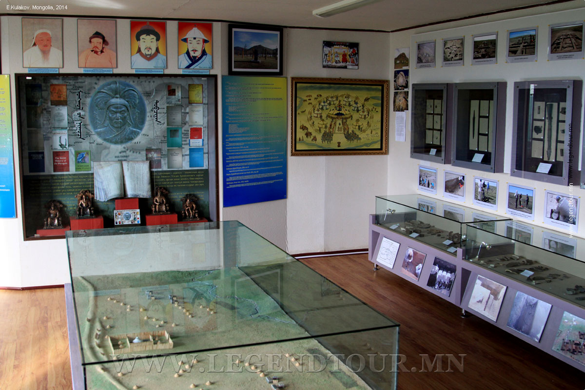
natural heritage. The “Khuduu Aral” research center and museum building was
opened in 2007, and approximately 3 km fence around the Ruins of Avarga was
built.
PAGES OF THE PICTURE ALBUM
| 


 Classic tours